Guidelines
These pages give you an idea of what to expect along the routes, what to take and what delights and problems you may encounter. Click on each heading for more details.
Paths and terrain
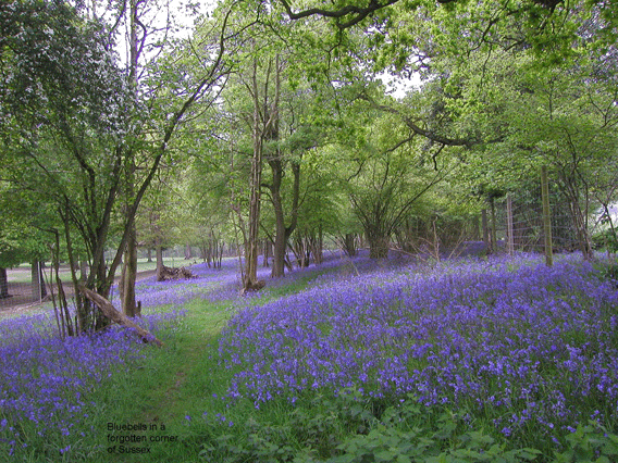
As you saw, these walks use a wide variety of paths, tracks, lanes and shortcuts, sometimes going beyond the statutory paths marked in green on the OS maps. This page lists the various types of terrain and routes used in the walks. It also explains how paths may sometimes change, making your feedback essential.
MoD Access Times
Some of the best terrain is on Ministry of Defence land. This page explains what restrictions, if any, may apply to your walk.
Easy vs. Challenging
This page explains the levels of ease or difficulty given to these walks.
How distances are measured
This page explains the distance figure given at the head of each guide.
What to take?
This page suggests what you may like to take along with you, including footwear, clothing, maybe even a dog.
Along the way
This page explains about pubs and restaurants and other not-too-unpleasant features of a walk.
Hazards
This page tells you about the mild hazards you may meet along the way, including nettles, mud, cattle and other country delights.
Getting There
This page explains about car parks and arriving by train and bus.